welcome to the OMM!
This year we are in Glen Artney, St Fillans to be exact. Here you will be able to find everything you need to follow the competitors as they navigate through some of the best mountain running the UK has to offer.
OMM Tracking
Day 1
Line Courses
Score Courses
Day 2
Line Courses
Score Courses
“THE OMM” A UNIQUE CHALLENGE
Held at the end of every October since 1968, ‘The OMM’ is recognised as the gold standard in UK Mountain Challenges.
A self-reliant 2-day journey through some of the UK’s finest mountain terrain, a true test of mountain craft, resilience & sense of humour.
On the startline, you and your partner will be given a map of your chosen course. You need to plan a route to find your checkpoints finishing at the halfway overnight campsite. To complete the race you need to be self-reliant & carry everything you need for the 2 days including the halfway camp. Day 2 you get new checkpoints to find finishing back at the event centre.
2024: GLEN ARTNEY – We’ve chosen a stunning location for the 55th edition.
The 55th edition of the Original Mountain Marathon is set to be another classic with the unmistakable scenery of the highlands.
Every year we look for a location that offers you stunning terrain, challenging route choices and maybe somewhere you’re not been before. This year ticks all the boxes. Sat atop the Highland boundary fault, Glen Artney has the high mountains, remote valleys and varying terrain for you to get lost in. Take our word for it, it’s stunning!! It’s well worth the drive to get to it especially if you’ve not been there before.
ABOUT THE OMM EVENT TEAM
The OMM Event relies on around 150 volunteers, some of whom have been with the event for over 40 years and many for at least 20
Each year, almost 100 controls are placed over a 350km2 event area and retrieved again by our dedicated volunteer hill team, covering around 400km and 26,000m+ over the course of 5 days. The Planners spend in excess of 80 days exploring the areas and designing the courses to ensure interesting and challenging courses.
We employ an independent ecologist to assess each event area before and after the race and advise the route planners accordingly. The ecological reports are made publicly available following each event
OMM events are recognised by numerous national conservation bodies to be the leaders in responsible event organisation
Independent studies suggest each event brings in around £500k of additional revenue to the local area
OMM Events are run on a not-for-profit basis.
A TEST OF YOUR KNOWLEDGE, ENDURANCE & EXPERIENCE IN THE MOUNTAINS
Run or hike if you love being in the mountains, regardless of the conditions then The OMM is for you. The event provides an opportunity to put your hill experience to the test, an example of this is what kit to take. Using your experience & understanding of the terrain & conditions you’ll have to decide whether to travel lite allowing you to travel fast or heavy and be more comfortable. Equally, working with your team mate to decide what terrain to cross is key. If you haven’t much experience “off path” you’ll learn pretty quick but it’s worth it for the views!

HOW HARD IS THE NAVIGATION?
That depends how fast you’re moving!
The controls (or checkpoints) you have to find are usually placed off paths and often out of sight but each one is provided with a short description (i.e. “stream junction”, “sheepfold”). You will need to be competent with map and compass (no GPS allowed) and able to follow a bearing, potentially in low visibility and bad weather and over rough ground.
Navigation is the big hurdle for many people looking at The OMM but crossing the mountains using only a map & compass in a digital age is incredibly rewarding. If you aren’t confident in your or your partner’s abilities, we highly recommend seeking some instruction from one of our approved Training Providers either in person or via an online seminar.
Then it’s all about practice, practice, practice!
Military: The OMM is approved as a training exercise that contributes towards a unit’s individual or collective military training outputs. See event details for full details.
See event details below for full information
HOW MUCH DO WE HAVE TO CARRY?
A full kit list is provided below but being self-sufficient for two days in the mountain means carrying a lot more kit than many of us are used to. The lightest gear and cutting back on all but the essential will get your pack down to around 4kg but don’t expect to be comfortable. The average pack (including water and food) is around 6-8kg.
It is a good idea to do at least some of your training with this kind of weight. Some of the distances quoted above may not seem far compared to many ultras but the combination of pack weight, terrain, conditions and navigation means each kilometre is hard won.

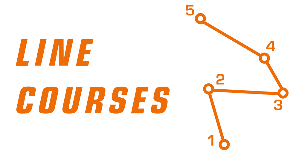
The fastest team to visit all the checkpoints in a specific order wins. Any route allowed.
ELITE COURSE
Day 1: 47km/2200m Example map
Day 2: 38km/1800m Example map
A COURSE
Day 1: 36km/1650m Example map
Day 2: 29km/1350m Example map
B COURSE
Day 1: 25km/1100m Example map
Day 2: 20km/900m Example map
*Distances are in a straight line

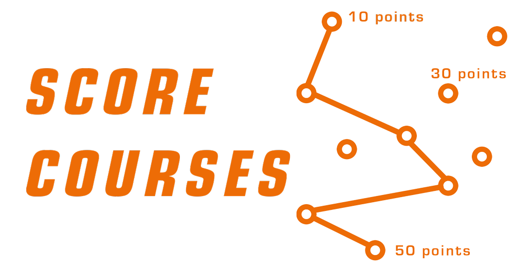
You’ve got between 4 & 7 hours to find as many checkpoints as you can, highest score wins. Any order, any route.
LONG SCORE
Day 1: 7 hours Example map
Day 2: 6 hours Example map
MEDIUM SCORE
Day 1: 6 hours Example map
Day 2: 5 hours Example map
SHORT SCORE
Day 1: 5 hours Example map
Day 2: 4 hours Example map


