Planning score course essentially is about maximising how many points can be collected within the allocated time period. Setting time penalties is a very important aspect to this. Time penalties apply equally to elite teams as well as to less capable teams. Getting back late has to be detrimental to both ends of the field without becoming onerous and dispiriting to the less capable. We think this was applied fairly at the event.
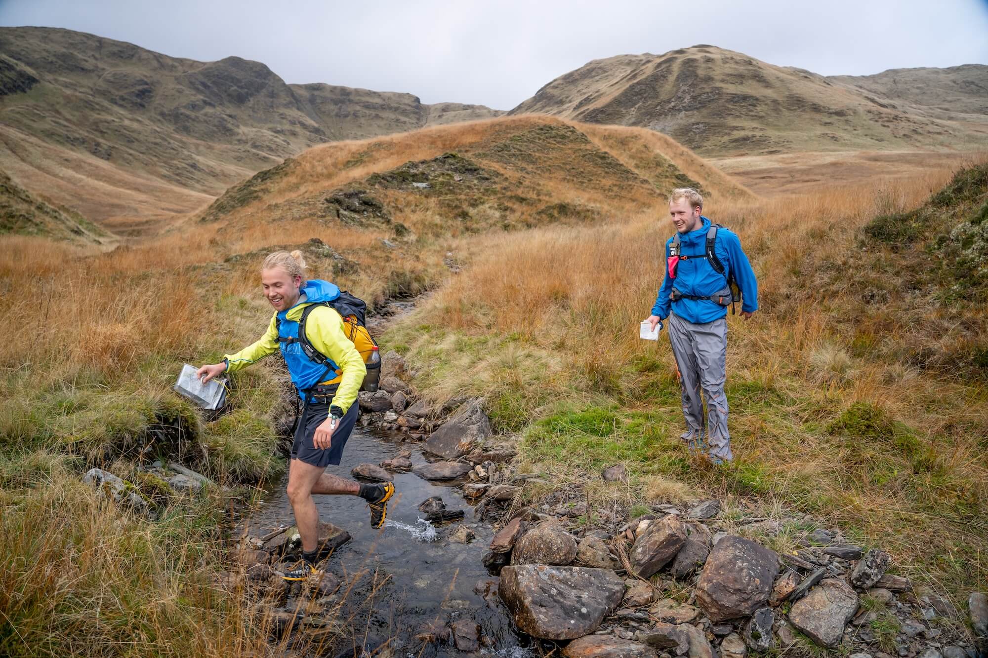
What we wanted to avoid was a crocodile trail of score competitors doing the same routes through the area. This was easily achieved at Glenartney as we had little in the way of constraints with both access and the physical terrain short of what has already been mentioned.
We split the competition area into blocks which could be used for both days, excepting Glenartney hill. We decided which blocks would be used on which courses for each day. The short score was never going to have time to use Glenample on either day, but the long score could.
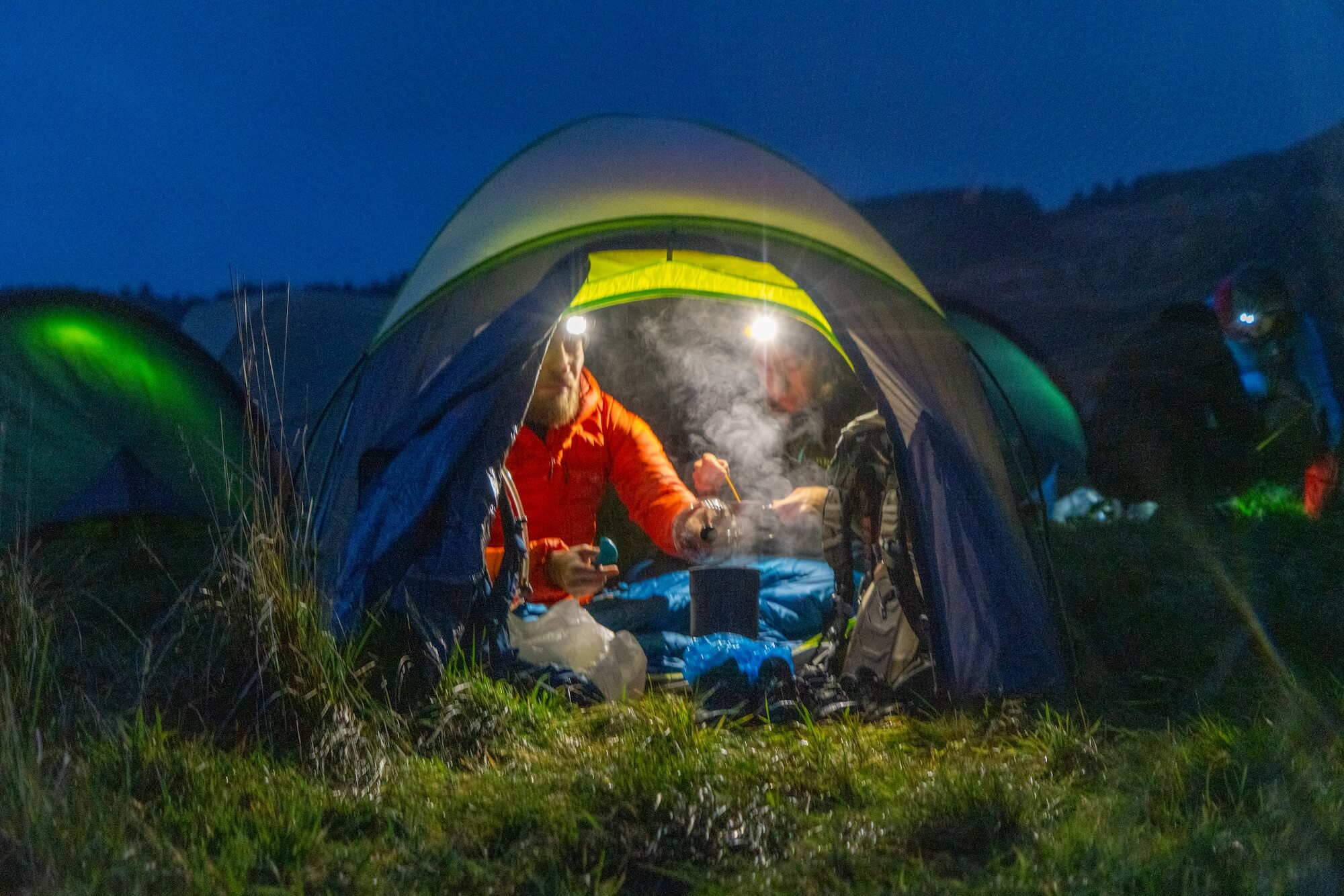
We tried as far as was practicable to weight the allocation of controls and their allocated points to tempt competitors to use as much as possible of what was a great area over the two days. One of the key factors is always the location of the overnight camp. One must have a camp where the short score classes in particular can get to the finish whilst being able to collect controls and score points while doing so. As a general rule of thumb, the overnight camp should be within 10km of the event centre.
Where teams will go to and what controls they will visit is largely factored by their physical capability, their navigational abilities and their astuteness in planning a route that will link scoring points together. All of which should be achieved within the allocated fixed time period of their course.
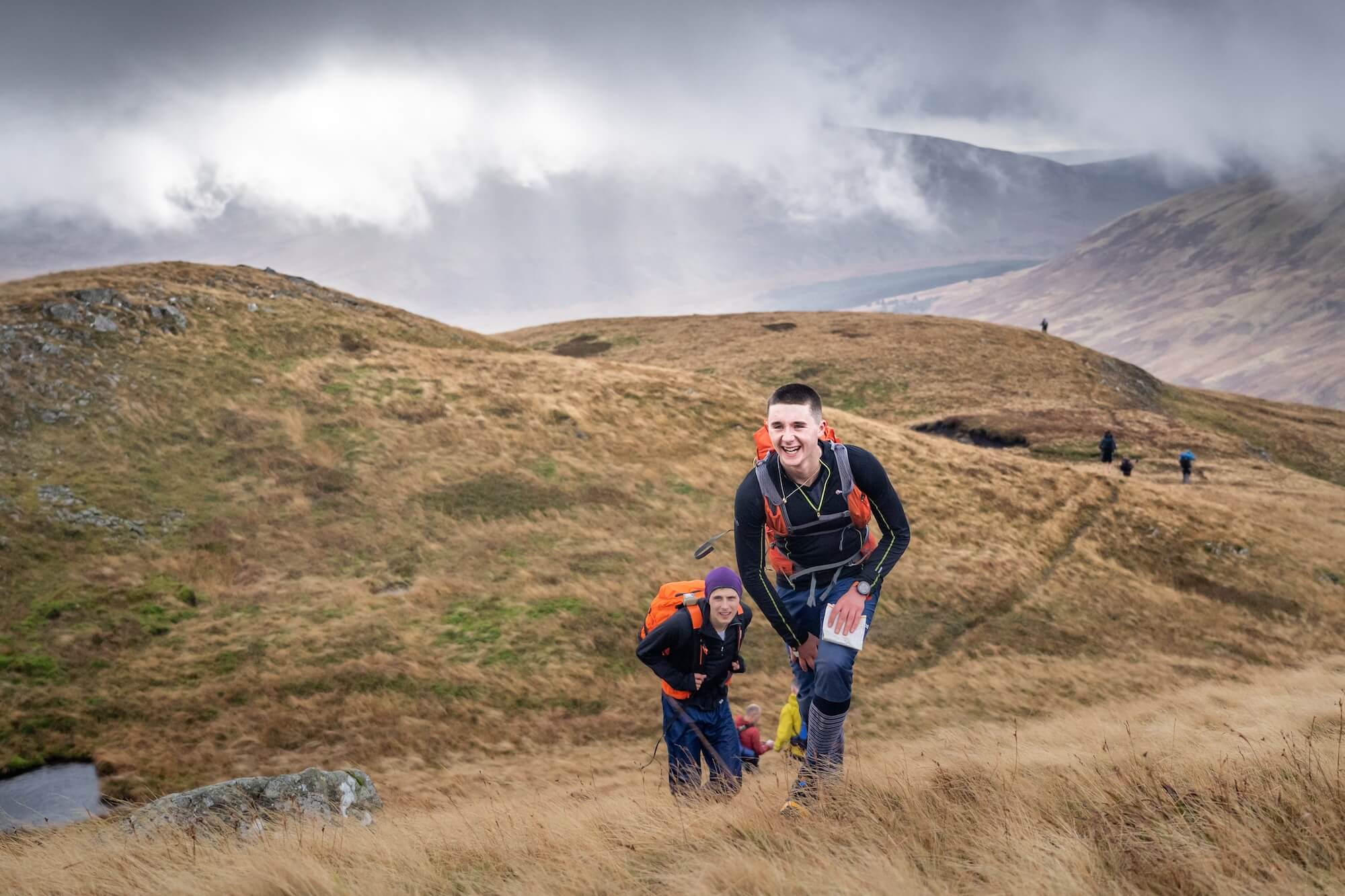
Having had a look at the routes that both elite and less able teams chose, this was largely achieved this year. Both ends of the class capabilities had choice and made them.
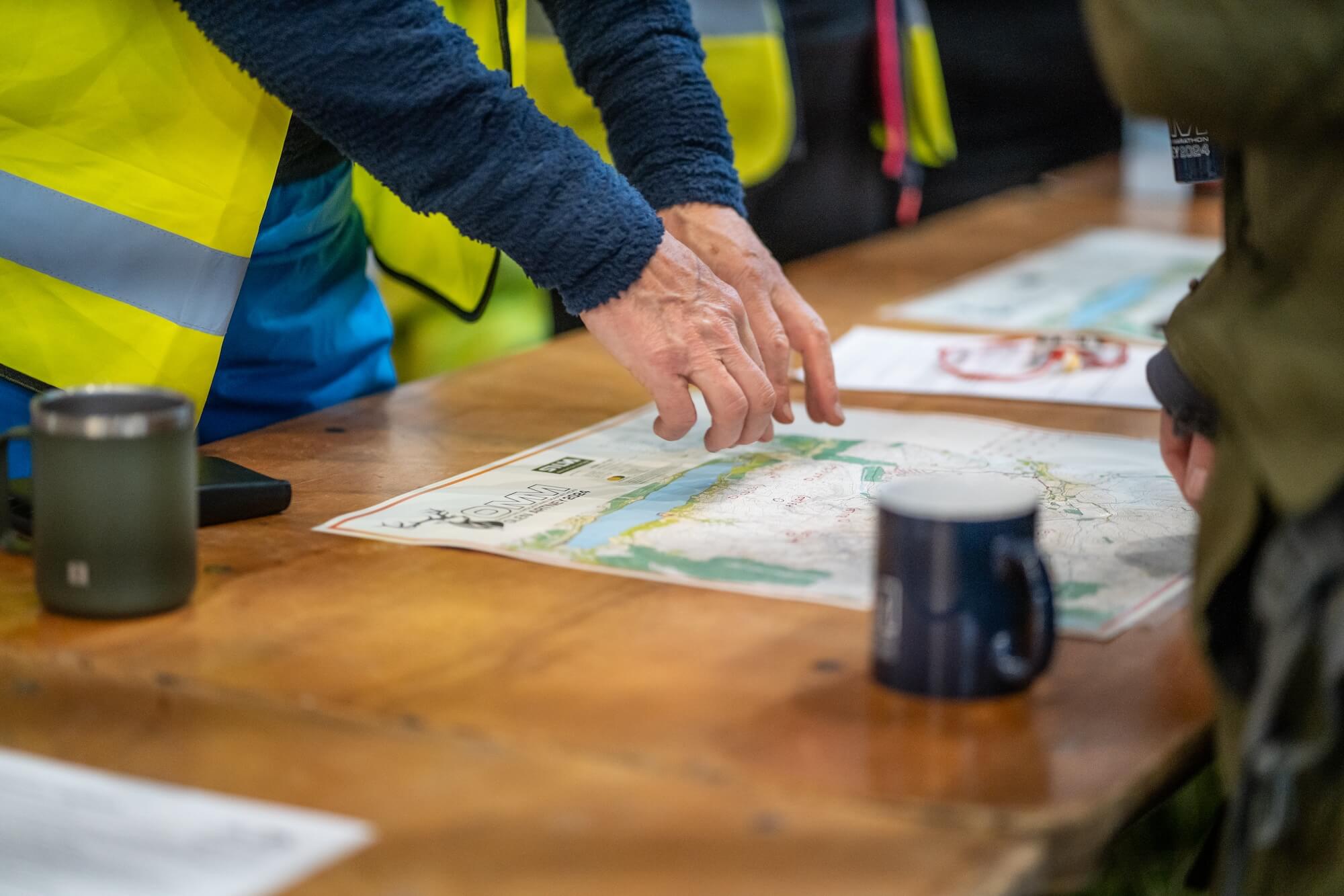
In terms of control sites we took the following approach. We decided roughly which blocks we would use and what score points could be taken within them. We did the line course planning first then used those control sites for the score classes. We added to them where we needed further sites. Point allocation per control site were based on their difficulty in visiting them in conjunction with reward for taking routes that would perhaps not be chosen otherwise. Much of this was in tandem with encouraging competitors to split their strategies and separate teams to minimise crocodile trails.